


Sector 1
Historic settlement centre
Zinzendorf Square, the Church Hall, choir houses, Vogtshof, gardens and other buildings express the planned life of the community.
W UNESCO World Heritage since 2024 · component 1468bis-002
Moravian Church Settlements
A door from Berthelsdorf Manor would fit a Moravian house in America. Herrnhut is the German component of the World Heritage Site “Moravian Church Settlements”, together with Christiansfeld, Bethlehem and Gracehill.
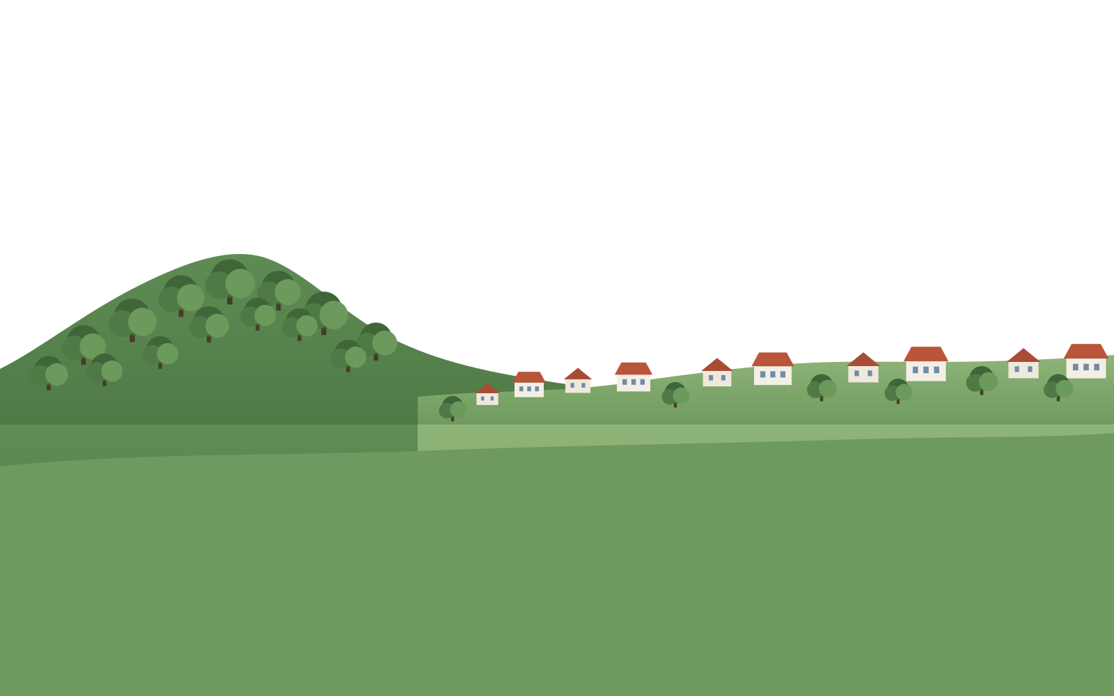
Illustration: Church Hall, Zinzendorf Square, Hutberg and the Zittau Mountains - schematic, not a site plan or boundary
The precise answer
In Herrnhut, World Heritage is a defined area of 45.56 hectares in three parts: the square with the Church Hall, God's Acre on Hutberg and the estate at Berthelsdorf. The town around it is larger.
Schematic · not an official boundary · UNESCO maps are authoritative
Sector 1
Zinzendorf Square, the Church Hall, choir houses, Vogtshof, gardens and other buildings express the planned life of the community.
Sector 2
The straight route and simple grave slabs make order, equality and memory visible in the landscape.
Sector 3
Zinzendorf Manor and the estate explain Herrnhut's origin about 1.5 kilometres to the north-east.
A short walk around Zinzendorf Square covers only one sector. To understand the complete spatial idea, include God's Acre/Hutberg and - subject to access - Berthelsdorf.
History through stories
World Heritage need not sound technical. Seven source-checked stories show how Herrnhut's ideas took form in architecture, daily life and faith - and travelled across continents.
Read all seven storiesThree spaces, one relationship
World Heritage sectors, the starting point and thematically related destinations - each labelled with its role. Rotate the carousel with the arrows, by swiping or with the arrow keys.

The ‘living faith together’ exhibition introduces history, community, architecture and the international network.
Understand access and contextRead the square, Church Hall, Vogtshof, choir houses and gardens as the community's built order.
The square story
A sensitive religious place where burial culture, equality, route and landscape come together.
Visit respectfully
The place where Herrnhut's foundation began is part of the component, not merely a nearby excursion.
Place Berthelsdorf in contextAn indoor introduction to local, domestic and craft history. Check opening with the town.
Town information ↗
Education, craft and a worldwide symbol. Accessible according to the operator; not part of the property.
Visitor information ↗A research resource on the global network. Not a standard drop-in attraction: check access with the archive.
Archive website ↗Designed for real conditions
Tell the travel compass how much time you have, what the weather is like and how far you want to walk. It proposes a route and says which details still need an operator check on the day.
The demonstrator explains itself
What does 1468bis-002 mean? Why does the site distinguish the World Heritage property, operators and related destinations so carefully? How do text, relationships and sources support AI travel advice?
A stakeholder tour: Generative Engine Optimization and knowledge graphs through a concrete example, explained without specialist training.
The model's five layers
They work together and describe the same places from different perspectives.
Location and arrival
Herrnhut lies in Upper Lusatia in the Görlitz district, Saxony, on federal road B178 between Löbau and Zittau. Berthelsdorf has been a district of the town since 2013.

Herrnhut belongs to Upper Lusatia – German Oberlausitz, Upper Sorbian Hornja Łužica. The chain of places on this site reads Herrnhut → Görlitz district → Free State of Saxony. Upper Lusatia is stated alongside it, because it is a historical region spanning Saxony, Brandenburg and Poland rather than an administrative unit.
The regional portal keeps its own page about Herrnhut: oberlausitz.com/en/herrnhut. The ‘oberlausitz.’ word mark belongs to Marketing-Gesellschaft Oberlausitz-Niederschlesien; it appears here as a pointer to that portal, not as a sign of sponsorship.
Sources: Wikipedia articles ‘Herrnhut’ and ‘Bahnstrecke Zittau–Löbau’ (transport), ZVON, OpenStreetMap and this site's mobility dataset. Distances are approximate values from these sources, not our own measurement. As of 6 September 2026. Addresses, opening hours and arrival details checked with the respective operator; please report changes via the imprint page.
World Heritage travellers who want to read a planned settlement; families, for whom the information point and the star visitor centre work on rainy days; groups with guided tours via the information point or the Friends association at Berthelsdorf. School classes and cyclists are welcome but need the operators' current times.
Frequently asked
No. The UNESCO property is spatially defined. It comprises the three sectors explained here within Herrnhut and Berthelsdorf; the municipal area is larger.
It is an important thematically related destination that explains education, craft and the worldwide reach of the Moravian Church. It is not stated here as UNESCO property.
The authoritative source is the set of official UNESCO maps. This demonstrator does not draw its own supposedly official boundary.
Next step
Build an explainable itinerary in two minutes - with notes on what still needs a live operator check on the day of your visit.
Primary sources: UNESCO World Heritage Centre, nomination dossier, international portal and Moravian Church in Germany. Accessibility, parking and route evidence is exposed in the mobility dataset. Check changeable visitor data with the operator. As of 6 September 2026. Addresses, opening hours and arrival details checked with the respective operator; please report changes via the imprint page.